 |
| Truckee Canyon and River with whitewater rapids south of Floriston |
The bistate Hirschdale-to-Verdi section of the Tahoe Pyramid Trail (TPT) is an adventure for hikers and bikers. Finding its way between mostly open slopes between Interstate 80 and the continental Railroad, it is a scenic trail—even so highway traffic noise rarely fades completely. According to a trailside panel, this canyon section imposed by far some of the most difficult construction challenges of the entire trail. The Donner Party even avoided this section of the Truckee River and traveled west, away from the river, at Verdi.
The TPT “Floriston Section” between the East End of Hirschdale Road and Floriston is open since October 2019 [1]. Here, I am following the mostly single track trail from the Hirschdale Road trailhead to Floriston, providing some pictures to give an overall impression of what you can expect to see while traveling the trail and picking some informative text from panels posted along the first half (Hirschdale to Iceland view point) of the section.
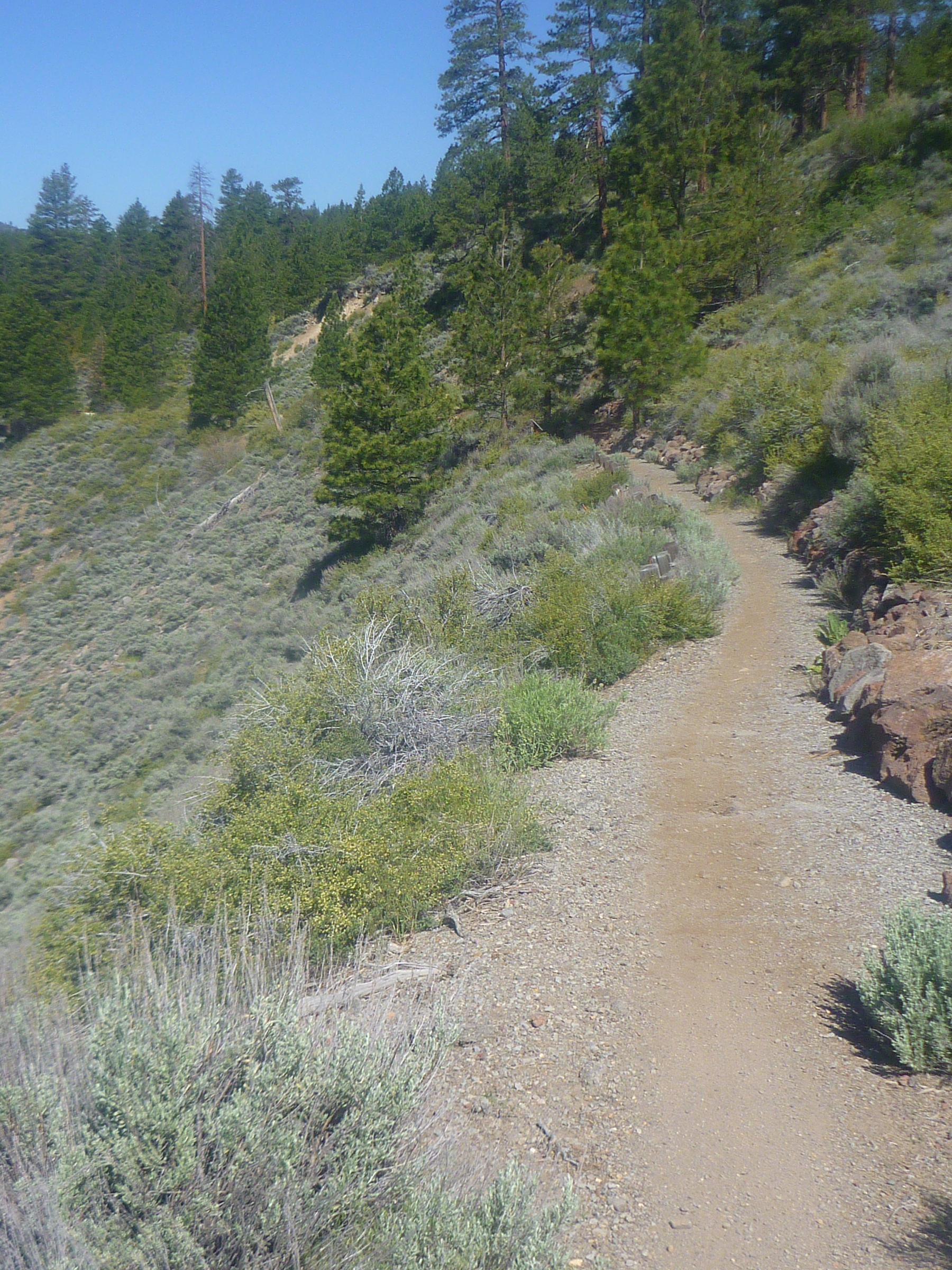
Actual, the first half mile is an old road.
 |
| TPT following the old Hirschdale Rd. |
Soon, you will arrive at the beginning of the single-track, where you can learn how the TPT project took off as Janet's vision:
In 2003, Janet (Carson) Phillips began scouting the Truckee River Canyon between Reno and Truckee to build a path as part of her vision to create a bike trail along the entire Truckee River, from Lake Tahoe to Pyramid Lake. With paper and pencil in hand, the retired water planner from Reno began sketching a route. Soon other local professionals joined the cause, devoting countless hours of expertise over the years, to help make Janet's vision a reality. Working entirely as an unpaid volunteer, Janet leads a nonprofit that directs more than 90% of its grants and donations to trail building, opening more than 80% of the entire route to the public by 2018. As Janet has said many times, she vows to "finish it while I can still ride a bike!"
Many sections of the TPT speak of modern, sustainable trail design, but old road remnants were not at all neglected:
In designing the Tahoe-Pyramid Trail, as many old road segments as possible were included. Unfortunately, when Interstate 80 was built in the late 1950's (to accommodate the 1960 winter Olympics at Squaw Valley [now Palisades Tahoe] much of the old road was obliterated.
In the Truckee River Canyon, construction was difficult for early road engineers, especially since the railroad was granted the most desirable land near the river by Congress in 1860. As a results, when Interstate 80 was built, the highway department had to cut it into the canyon wall high above the river. You can see a vivid example of this two miles east of here.
 |
| TPT near the Chris & Ann Askin Bench |
The TPT includes rest areas, viewing points and benches. For example, the Chris & Ann Askin Bench with the inscription “Home Is Where The Trail Is.” From the bench you can enjoy amazing canyon views. And next to the bench you get informed about the Truckee River Operating Agreement (TROA):
After years of discussion and debate, the states of Nevada and California, the United States Government, Truckee Meadows Water Authority (TMWA), and the Pyramid Lake Paiute Tribe and nine other parties signed the Truckee River Operating Agreement on September 6, 2006. The agreement brings and end to historic uncertainty between Nevada and California over distribution of the river's water, allocating 90 percent to Nevada.
 |
| An Amtrak train on its way to Truckee in California |
Lahontan cutthroat trout (LCT) have lived in this river for many thousands of years. Historical records show that some of these fish weighed over 40 pounds! Today's keeps are not so large, but anglers might still be lucky enough to catch descendants of those legends.
The Truckee River's only native trout species is the LCT. It was an important food source for local Native American tribes. Starting in the mid-1800's, settlers brought trouble for those trout. Overfished waters, nonnative species, river pollution, dams and water divisions were left in the wake of early industries like logging and fishing.
By the 1940's, LCT were gone from the Truckee River. Today, they are found in only 3% of their original range and are listed as a threatened species. Recovery efforts on selected reaches of the river are under way—including habitat improvement and reintroductions of LCT.
Given a chance, LCT may once again reach larger sizes and numbers, allowing them to thrive and to keep their natural place in the Truckee River.

The TPT is getting very close to the highway for a short time, before you will find a shaded area with a rest & vista point.
 |
| A few steps on a side trail lead to a rest area |
This is—in my opinion—the most interesting spot of the “Floriston Section.” What you see are two railroad bridges crossing the Truckee River at the point where Gray Creek meets the Truckee. And what you read is the history of Iceland—Iceland, California (of course):
Across the canyon, you can see where Gray Creek enters the Truckee River. In the 1870's, there was a lumber mill here and ice production [People's Ice Company]. Before refrigeration, ice from the Sierra Nevada was essential to transporting California produce to the East Coast. Old ice pond walls, still visible today, are between the railroad and the river. Iceland even had a post office from 1897 - 1923.
One mile east of Iceland is Bronco Creek. The Wicks brothers operated a wood yard there, complete with store, telegraph station and residence. The Bronco Creek settlement had a post office from 1872 - 1891.
Other, larger communities in the Truckee River Canyon east and west of this location include Boca, Hirschdale, and Floriston.
Gray Creek was not named for its tumbling water that may appear—at a cursory glance—white-gray. Joe Gray, who helped found Truckee, built the lumber mill (mentioned above) here and gave his name to the creek. Gray also was part owner of the People's Ice Company, to which he leased his property in 1876.[2,3].
 |
| Iceland, CA: once a train stop for loading ice and also home of a Gray's lumber mill |
From the Iceland viewpoint to Floriston, the TPT again follows closely alongside the highway for a while, before two switchbacks take you downhill into an aspen grove at the point where the river showcases one of its many whitewater rapids (see top pictures.). Out of the grove, the trail wins uphill until it reaches the 65 foot downward stairs.
 |
| 65 foot upard/downward stairs: bike line on the right side |
Down the stairs, you have an easy stretch to the Floriston trailhead, passing a hanging rock and then along its signature boardwalk, above and parallel to the whitewater fleece.
 |
| Hanging rock |
 |
| “Floriston Section” boardwalk |
Getting to the East End of Hirschdale Road

Take the I-80 exit Boca/Hirschdale Rd. (Exit 194) and go south on Glenshire Dr. After 1000 ft, leave Glenshire Dr. on the left to go south on Hirschdale, which soon bends east to cross the Truckee River. Find trail parking at the end of the road. The TPT follows the degrading Hirschdale Road for about half a mile until it turns single track.
Getting to the Floriston Trailhead
Exit I-80 (Exit 199) at Floriston. There are parking areas on both sides of the river. The trailhead of the “Floriston Section” connecting with Hirschdale Road is between the river and the highway underpass.
 |
| Tahoe River Trail donator cube |
References and more to explore
[1] The Tahoe-Pyramid Trail “Floriston Section” is NOW FULLY OPEN 10/5/19. URL: https://tahoepyramidtrail.org/tahoe-pyramid-trail-floriston-section-is-complete-and-open/ (accessed on June 1, 2024).
[2] See the ICELAND entry in Tom Macaulay's article Ghosts of the Truckee River Canyon; Once bustling towns gone but not forgotten. Truckee-Donner Historical Society. URL: https://www.truckeehistory.org/ghosts-of-the-truckee-river-canyon.html (accessed on June 2, 2024).
[3] Iceland, California. Wikipedia. URL: https://en.wikipedia.org/wiki/Iceland,_California (accessed June 2, 2024).


